
Mandaf topographic map
Interactive map
Click on the map to display elevation.
About this map
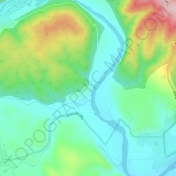
Name: Mandaf topographic map, elevation, terrain.
Location: Mandaf, Aqrah District, Dohuk, Iraqi Kurdistan, Iraq (36.85883 44.02354 36.89883 44.06354)
Average elevation: 1,781 ft
Minimum elevation: 1,499 ft
Maximum elevation: 2,454 ft