
Braamfontein Spruit topographic map
Interactive map
Click on the map to display elevation.
About this map
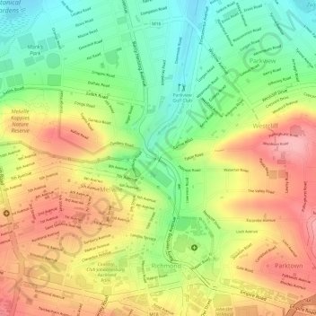
Name: Braamfontein Spruit topographic map, elevation, terrain.
Average elevation: 5,486 ft
Minimum elevation: 5,256 ft
Maximum elevation: 5,696 ft
Other topographic maps
Click on a map to view its topography, its elevation and its terrain.
Johannesburg Ward 64
RSA > Gauteng > Johannesburg
Johannesburg Ward 64, Johannesburg, City of Johannesburg Metropolitan Municipality, Gauteng, 2001, RSA
Average elevation: 5,768 ft