
Leugnies topographic map
Interactive map
Click on the map to display elevation.
About this map
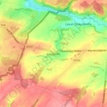
Name: Leugnies topographic map, elevation, terrain.
Location: Leugnies, Beaumont, Thuin, Henegouwen, Wallonië, 6500, België (50.20464 4.17616 50.24464 4.21616)
Average elevation: 659 ft
Minimum elevation: 469 ft
Maximum elevation: 801 ft