Geolocate

Pacto Sumaco topographic map

Click on the map to display elevation.

About this map
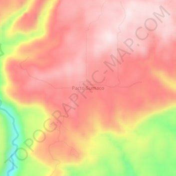
Name: Pacto Sumaco topographic map, elevation, terrain.

Location: Pacto Sumaco, Cotundo, Archidona, Napo, Ecuador (-0.68759 -77.61416 -0.64759 -77.57416)

Average elevation: 4,738 ft

Minimum elevation: 3,734 ft

Maximum elevation: 5,197 ft

Gear up for your next adventure:

📦Dry Bags Set - Waterproof storage for electronics and clothes
🔌Solar Panel Charger - Charge gear sustainably outdoors
🧥Waterproof Jacket for Hiking - Breathable and rugged rain jacket for outdoor excursions
🏔️Mountain Trail Maps - High‑detail maps for popular peaks
⌚GPS Sports Watch - GPS watch for running, hiking and training

As an Amazon Associate, this site earns from qualifying purchases at no extra cost to you.