
Ginestar topographic map
Interactive map
Click on the map to display elevation.
About this map
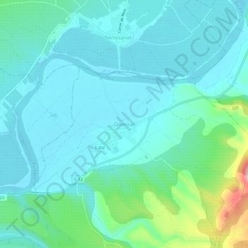
Name: Ginestar topographic map, elevation, terrain.
Location: Ginestar, Ribera de Ebro, Tarragona, Cataluña, 43748, España (41.02328 0.61563 41.06328 0.65563)
Average elevation: 154 ft
Minimum elevation: 46 ft
Maximum elevation: 646 ft