
安多县 topographic map
Interactive map
Click on the map to display elevation.
About this map
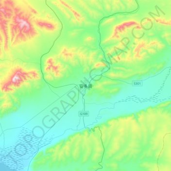
Name: 安多县 topographic map, elevation, terrain.
Location: 安多县, 那曲市, 西藏自治区, 中国 (32.10762 91.52107 32.42762 91.84107)
Average elevation: 15,886 ft
Minimum elevation: 15,039 ft
Maximum elevation: 18,527 ft