
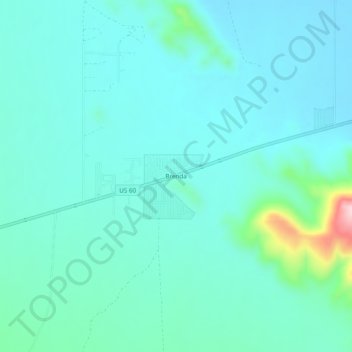
Brenda topographic map
Interactive map
Click on the map to display elevation.
About this map
Name: Brenda topographic map, elevation, terrain.
Location: Brenda, La Paz County, Arizona, États-Unis d'Amérique (33.65962 -113.96458 33.69962 -113.92458)
Average elevation: 1,394 ft
Minimum elevation: 1,263 ft
Maximum elevation: 2,100 ft