
子午镇 topographic map
Interactive map
Click on the map to display elevation.
About this map
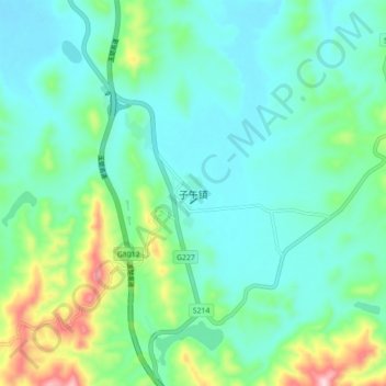
Name: 子午镇 topographic map, elevation, terrain.
Location: 子午镇, 楚雄市, 楚雄彝族自治州, 云南省, 中国 (24.84960 101.49500 24.92960 101.57500)
Average elevation: 6,293 ft
Minimum elevation: 6,043 ft
Maximum elevation: 7,149 ft