
吉野郡 topographic map
Interactive map
Click on the map to display elevation.
About this map
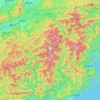
Name: 吉野郡 topographic map, elevation, terrain.
Location: 吉野郡, Prefectura de Nara, Japón (33.85896 135.53968 34.47989 136.13185)
Average elevation: 1,919 ft
Minimum elevation: 0 ft
Maximum elevation: 6,165 ft
Other topographic maps
Click on a map to view its topography, its elevation and its terrain.