
Schelldorf topographic map
Interactive map
Click on the map to display elevation.
About this map
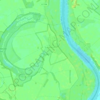
Name: Schelldorf topographic map, elevation, terrain.
Location: Schelldorf, Tangerhütte, Stendal, Sachsen-Anhalt, Deutschland (52.45963 11.95291 52.48121 12.00217)
Average elevation: 115 ft
Minimum elevation: 85 ft
Maximum elevation: 138 ft