
大津市 topographic map
Interactive map
Click on the map to display elevation.
About this map
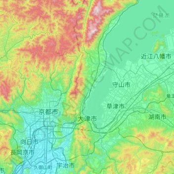
Name: 大津市 topographic map, elevation, terrain.
Location: 大津市, Prefectura de Shiga, Japón (34.87127 135.81476 35.28466 136.04310)
Average elevation: 892 ft
Minimum elevation: 13 ft
Maximum elevation: 3,842 ft