
Camerig topographic map
Interactive map
Click on the map to display elevation.
About this map
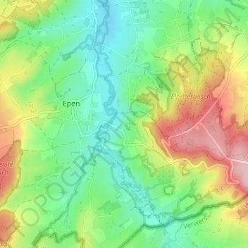
Name: Camerig topographic map, elevation, terrain.
Location: Camerig, Villen, Vaals, Limburg, Niederlande, 6294, Niederlande (50.75327 5.90592 50.79327 5.94592)
Average elevation: 545 ft
Minimum elevation: 335 ft
Maximum elevation: 899 ft