
Santa María topographic map
Interactive map
Click on the map to display elevation.
About this map
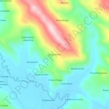
Name: Santa María topographic map, elevation, terrain.
Location: Santa María, Azángaro, Puno, Peru (-14.86320 -70.17631 -14.82320 -70.13631)
Average elevation: 13,051 ft
Minimum elevation: 12,687 ft
Maximum elevation: 13,894 ft