
Hurricane Canyon Natural Area topographic map
Interactive map
Click on the map to display elevation.
About this map
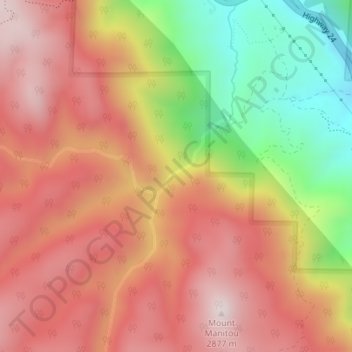
Name: Hurricane Canyon Natural Area topographic map, elevation, terrain.
Average elevation: 8,442 ft
Minimum elevation: 7,083 ft
Maximum elevation: 9,380 ft