
Capurata topographic map
Interactive map
Click on the map to display elevation.
About this map
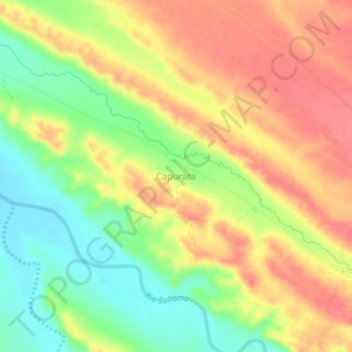
Name: Capurata topographic map, elevation, terrain.
Location: Capurata, Provincia Sajama, ORU, Bolivien (-17.73009 -68.40835 -17.69009 -68.36835)
Average elevation: 12,730 ft
Minimum elevation: 12,602 ft
Maximum elevation: 12,831 ft