
Riethoven topographic map
Interactive map
Click on the map to display elevation.
About this map
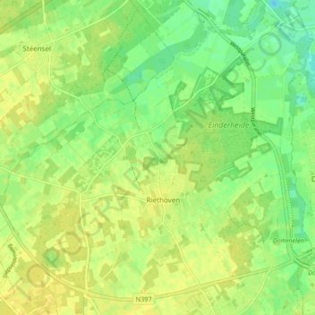
Name: Riethoven topographic map, elevation, terrain.
Location: Riethoven, Bergeijk, North Brabant, Netherlands (51.33595 5.34259 51.38391 5.42561)
Average elevation: 85 ft
Minimum elevation: 46 ft
Maximum elevation: 112 ft