
Matamoros topographic map
Interactive map
Click on the map to display elevation.
About this map
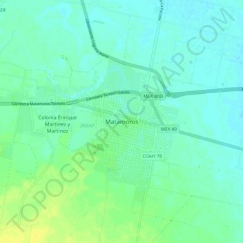
Name: Matamoros topographic map, elevation, terrain.
Location: Matamoros, Coahuila, 27447, México (25.48929 -103.27200 25.56929 -103.19200)
Average elevation: 3,661 ft
Minimum elevation: 3,642 ft
Maximum elevation: 3,694 ft