
Cala di l'Oru topographic map
Interactive map
Click on the map to display elevation.
About this map
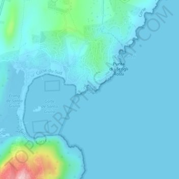
Name: Cala di l'Oru topographic map, elevation, terrain.
Average elevation: 66 ft
Minimum elevation: -16 ft
Maximum elevation: 689 ft
Other topographic maps
Click on a map to view its topography, its elevation and its terrain.
Le Refuge
France > Corse > Porto-Vecchio > Cartalavonu
Le Refuge, Cartalavonu, Porto-Vecchio, Sartène, Corse-du-Sud, Corse, France métropolitaine, 20137, France
Average elevation: 3,031 ft
Île Piana
France > Corse > Porto-Vecchio
Île Piana, Porto-Vecchio, Sartène, Corse-du-Sud, Corse, France métropolitaine, 20137, France
Average elevation: 3 ft
Îles Cerbicale
France > Corse > Porto-Vecchio
Îles Cerbicale, D 859, Porto-Vecchio, Sartène, Corse-du-Sud, Corse, France métropolitaine, 20137, France
Average elevation: 3 ft