
Phey topographic map
Interactive map
Click on the map to display elevation.
About this map
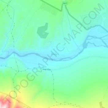
Name: Phey topographic map, elevation, terrain.
Location: Phey, Leh District, Jammu and Kashmir, India (34.11153 77.44744 34.15153 77.48744)
Average elevation: 10,725 ft
Minimum elevation: 10,374 ft
Maximum elevation: 11,877 ft