
Leonding topographic map
Interactive map
Click on the map to display elevation.
About this map
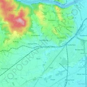
Name: Leonding topographic map, elevation, terrain.
Location: Leonding, Linz-Land, Oberösterreich, 4060, Österreich (48.24367 14.20462 48.30982 14.28137)
Average elevation: 1,007 ft
Minimum elevation: 823 ft
Maximum elevation: 1,696 ft