
Palma Sola topographic map
Interactive map
Click on the map to display elevation.
About this map
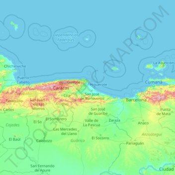
Name: Palma Sola topographic map, elevation, terrain.
Location: Palma Sola, Región Capital, Venezuela (7.81094 -68.68117 12.93094 -63.56117)
Average elevation: 374 ft
Minimum elevation: -3 ft
Maximum elevation: 8,232 ft