
Rokycany topographic map
Interactive map
Click on the map to display elevation.
About this map
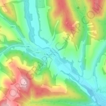
Name: Rokycany topographic map, elevation, terrain.
Average elevation: 1,237 ft
Minimum elevation: 968 ft
Maximum elevation: 1,644 ft
Other topographic maps
Click on a map to view its topography, its elevation and its terrain.
Prešov
Slovaquie > Région de Prešov > okres Prešov
Prešov, okres Prešov, Région de Prešov, Slovaquie orientale, Slovaquie
Average elevation: 1,060 ft