
Glenmore topographic map
Interactive map
Click on the map to display elevation.
About this map
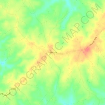
Name: Glenmore topographic map, elevation, terrain.
Location: Glenmore, Buckingham County, Virginia, USA (37.65153 -78.61001 37.69153 -78.57001)
Average elevation: 545 ft
Minimum elevation: 443 ft
Maximum elevation: 636 ft