
Eeserveen topographic map
Interactive map
Click on the map to display elevation.
About this map
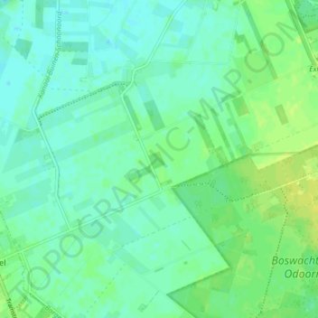
Name: Eeserveen topographic map, elevation, terrain.
Location: Eeserveen, Borger-Odoorn, Drenthe, Nederland (52.86093 6.73470 52.89314 6.80764)
Average elevation: 59 ft
Minimum elevation: 39 ft
Maximum elevation: 89 ft
Other topographic maps
Click on a map to view its topography, its elevation and its terrain.
Bronnegerveen
Nederland > Drenthe > Borger-Odoorn
Bronnegerveen, Borger-Odoorn, Drenthe, Nederland
Average elevation: 26 ft
Exloërveen
Nederland > Drenthe > Borger-Odoorn
Exloërveen, Borger-Odoorn, Drenthe, Nederland
Average elevation: 36 ft