
Kotma topographic map
Interactive map
Click on the map to display elevation.
About this map
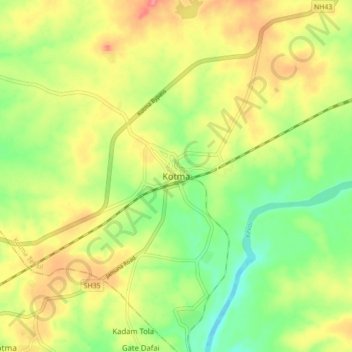
Name: Kotma topographic map, elevation, terrain.
Location: Kotma, Kotma Tehsil, Anuppur, Madhya Pradesh, 484334, India (23.16420 81.93900 23.24420 82.01900)
Average elevation: 1,745 ft
Minimum elevation: 1,617 ft
Maximum elevation: 1,883 ft