
Vrouwenpolder topographic map
Interactive map
Click on the map to display elevation.
About this map
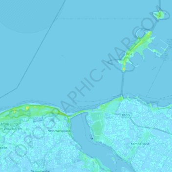
Name: Vrouwenpolder topographic map, elevation, terrain.
Location: Vrouwenpolder, Veere, Zeeland, Netherlands, The Netherlands (51.56153 3.56639 51.65036 3.74889)
Average elevation: 0 ft
Minimum elevation: -10 ft
Maximum elevation: 62 ft