
Yeti topographic map
Interactive map
Click on the map to display elevation.
About this map
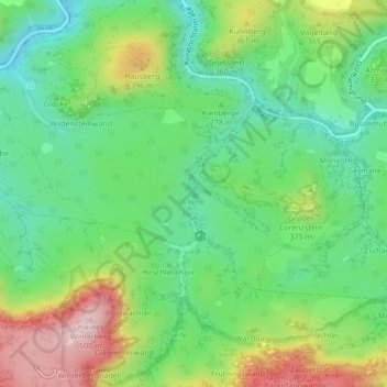
Name: Yeti topographic map, elevation, terrain.
Average elevation: 955 ft
Minimum elevation: 600 ft
Maximum elevation: 1,581 ft
Other topographic maps
Click on a map to view its topography, its elevation and its terrain.
Zschandborn
Allemagne > Saxe > Bad Schandau
Zschandborn, Sendengründel, Bad Schandau, Sächsische Schweiz-Osterzgebirge, Saxe, 01814, Allemagne
Average elevation: 1,207 ft