
Punta Gallinas topographic map
Interactive map
Click on the map to display elevation.
About this map
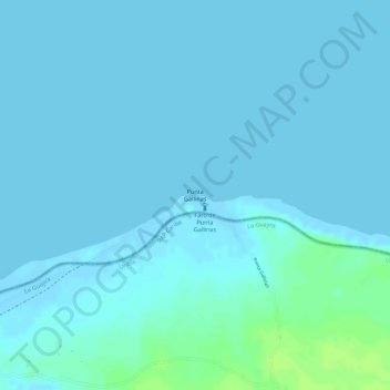
Name: Punta Gallinas topographic map, elevation, terrain.
Location: Punta Gallinas, Iposumo, Uribia, La Guajira, Colombia (12.45847 -71.66854 12.45857 -71.66844)
Average elevation: 7 ft
Minimum elevation: -10 ft
Maximum elevation: 39 ft
Other topographic maps
Click on a map to view its topography, its elevation and its terrain.
Faro Punta Gallinas
Colombia > La Guajira > Iposumo
Faro Punta Gallinas, Punta Gallinas, Iposumo, Uribia, La Guajira, Colombia
Average elevation: 10 ft