
Murchison Falls topographic map
Interactive map
Click on the map to display elevation.
About this map
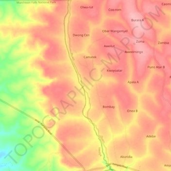
Name: Murchison Falls topographic map, elevation, terrain.
Location: Murchison Falls, Oyam, Northern Region, Uganda (2.25551 32.23268 2.35918 32.25988)
Average elevation: 3,478 ft
Minimum elevation: 3,228 ft
Maximum elevation: 3,602 ft
Other topographic maps
Click on a map to view its topography, its elevation and its terrain.