Geolocate

Province of Pataz topographic map

Click on the map to display elevation.

About this map

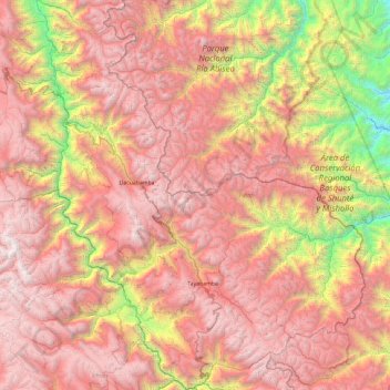
Name: Province of Pataz topographic map, elevation, terrain.

Location: Province of Pataz, La Libertad, Peru (-8.53327 -77.70093 -7.59323 -76.90124)

Average elevation: 9,836 ft

Minimum elevation: 2,395 ft

Maximum elevation: 15,984 ft

Gear up for your next adventure:

🧦Hiking Socks - Comfortable socks to prevent blisters on long hikes
🥘Titanium Cookware - Durable, featherlight pots and pans for backpacking
🪶Wildlife Field Guides - Learn animal tracking and species ID
📷Action Camera - Capture your outdoor adventures in HD
🪑Ultralight Camp Chairs - Portable seating for resting after a long day of mapping

As an Amazon Associate, this site earns from qualifying purchases at no extra cost to you.