
Perry's Victory and International Peace Memorial topographic map
Interactive map
Click on the map to display elevation.
About this map
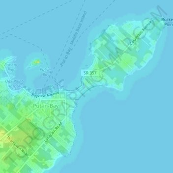
Name: Perry's Victory and International Peace Memorial topographic map, elevation, terrain.
Average elevation: 571 ft
Minimum elevation: 564 ft
Maximum elevation: 617 ft
Other topographic maps
Click on a map to view its topography, its elevation and its terrain.
Deleware Avenue Beach
United States > Ohio > Ottawa County > Put-in-Bay
Deleware Avenue Beach, Put-in-Bay, Put-in-Bay Township, Ottawa County, Ohio, United States
Average elevation: 574 ft
South Bass Island
United States > Ohio > Ottawa County > Put-in-Bay
South Bass Island, Put-in-Bay, Put-in-Bay Township, Ottawa County, Ohio, 43456, United States
Average elevation: 574 ft