
A-Da-Beja topographic map
Interactive map
Click on the map to display elevation.
About this map
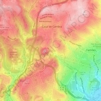
Name: A-Da-Beja topographic map, elevation, terrain.
Location: A-Da-Beja, Mina de Água, Amadora, Lisboa, 1675-266, Portugal (38.77097 -9.25136 38.81097 -9.21136)
Average elevation: 653 ft
Minimum elevation: 125 ft
Maximum elevation: 968 ft