
Reinsberg topographic map
Interactive map
Click on the map to display elevation.
About this map
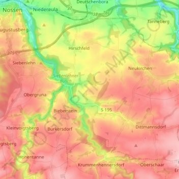
Name: Reinsberg topographic map, elevation, terrain.
Location: Reinsberg, Mittelsachsen, Saxe, Allemagne (50.98236 13.30994 51.05266 13.44951)
Average elevation: 1,010 ft
Minimum elevation: 676 ft
Maximum elevation: 1,250 ft