
Oese küla topographic map
Interactive map
Click on the map to display elevation.
About this map
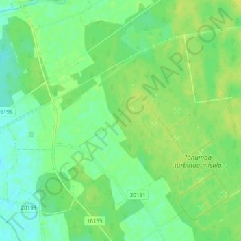
Name: Oese küla topographic map, elevation, terrain.
Location: Oese küla, Märjamaa vald, Kreis Rappel, 78023, Estland (58.74387 24.24148 58.77337 24.31739)
Average elevation: 52 ft
Minimum elevation: 26 ft
Maximum elevation: 79 ft