
Donnas topographic map
Interactive map
Click on the map to display elevation.
About this map
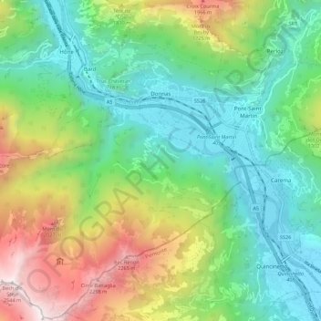
Name: Donnas topographic map, elevation, terrain.
Location: Donnas, Valle d'Aosta, Italia (45.55033 7.68827 45.62549 7.79682)
Average elevation: 3,241 ft
Minimum elevation: 876 ft
Maximum elevation: 8,261 ft