
Le Château d'Ancelle topographic map
Interactive map
Click on the map to display elevation.
About this map
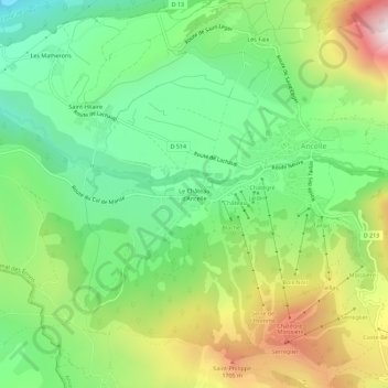
Name: Le Château d'Ancelle topographic map, elevation, terrain.
Average elevation: 4,616 ft
Minimum elevation: 3,652 ft
Maximum elevation: 6,227 ft