

Lachung topographic map
Click on the map to display elevation.
Lachung
Lachung is a town and hill station in northeast Sikkim, India. It is located in the North Sikkim district near the border with Tibet. Lachung is at an elevation of about 9,600 feet (2,900 m) and at the confluence of the Lachen and Lachung Rivers, both tributaries of the River Teesta. The word Lachung means "small pass". The town is approximately 125 kilometres (78 mi) from the capital Gangtok.
About this map
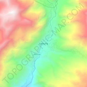
Name: Lachung topographic map, elevation, terrain.
Location: Lachung, Chungthang, North Sikkim District, Sikkim, India (27.64971 88.70259 27.72971 88.78259)
Average elevation: 11,867 ft
Minimum elevation: 7,484 ft
Maximum elevation: 17,605 ft