
拉吉 topographic map
Interactive map
Click on the map to display elevation.
About this map
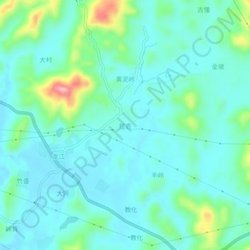
Name: 拉吉 topographic map, elevation, terrain.
Location: 拉吉, 鹿寨县, 柳州市, 广西壮族自治区, 中国 (24.51440 109.89400 24.55440 109.93400)
Average elevation: 466 ft
Minimum elevation: 361 ft
Maximum elevation: 869 ft
Other topographic maps
Click on a map to view its topography, its elevation and its terrain.