
Letterhoutem topographic map
Interactive map
Click on the map to display elevation.
About this map
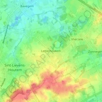
Name: Letterhoutem topographic map, elevation, terrain.
Location: Letterhoutem, Aalst, Oost-Vlaanderen, Vlaanderen, 9521, België (50.90696 3.86126 50.94696 3.90126)
Average elevation: 151 ft
Minimum elevation: 66 ft
Maximum elevation: 272 ft