
Ijede topographic map
Interactive map
Click on the map to display elevation.
About this map
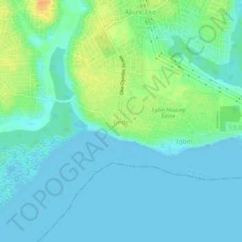
Name: Ijede topographic map, elevation, terrain.
Location: Ijede, Ikorodu, Lagos State, Nigeria (6.54558 3.57186 6.58558 3.61186)
Average elevation: 26 ft
Minimum elevation: -13 ft
Maximum elevation: 102 ft