
Excelsior topographic map
Interactive map
Click on the map to display elevation.
About this map
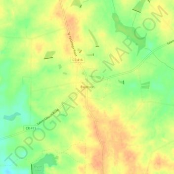
Name: Excelsior topographic map, elevation, terrain.
Location: Excelsior, Tift County, Georgia, USA (31.38463 -83.62795 31.42463 -83.58795)
Average elevation: 328 ft
Minimum elevation: 256 ft
Maximum elevation: 377 ft