
Sheakleyville topographic map
Interactive map
Click on the map to display elevation.
About this map
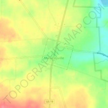
Name: Sheakleyville topographic map, elevation, terrain.
Location: Sheakleyville, Mercer County, Pennsylvania, 16151, USA (41.43992 -80.21213 41.44771 -80.20128)
Average elevation: 1,312 ft
Minimum elevation: 1,188 ft
Maximum elevation: 1,421 ft