
Saint-Christophe-en-Oisans topographic map
Interactive map
Click on the map to display elevation.
About this map
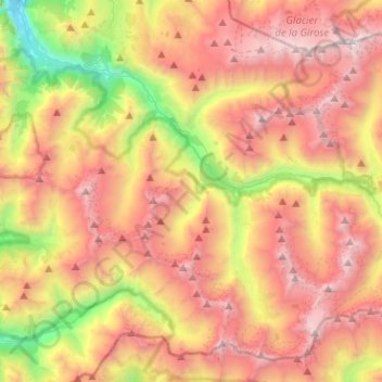
Name: Saint-Christophe-en-Oisans topographic map, elevation, terrain.
Average elevation: 8,327 ft
Minimum elevation: 3,061 ft
Maximum elevation: 13,182 ft