
旗山湖 topographic map
Interactive map
Click on the map to display elevation.
About this map
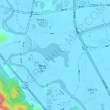
Name: 旗山湖 topographic map, elevation, terrain.
Location: 旗山湖, 闽侯县, 福州市, 福建省, 中国 (26.03888 119.18851 26.04477 119.19887)
Average elevation: 46 ft
Minimum elevation: 10 ft
Maximum elevation: 686 ft
Other topographic maps
Click on a map to view its topography, its elevation and its terrain.