
Tanjung Tiram topographic map
Interactive map
Click on the map to display elevation.
About this map
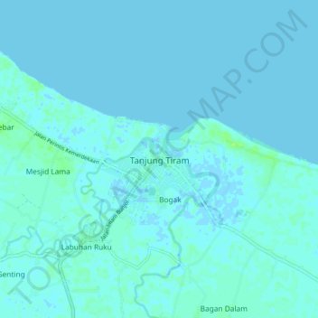
Name: Tanjung Tiram topographic map, elevation, terrain.
Location: Tanjung Tiram, Batu Bara, North Sumatra, 21253, Indonesia (3.18296 99.54202 3.26296 99.62202)
Average elevation: 3 ft
Minimum elevation: -7 ft
Maximum elevation: 30 ft