
Mullett Lake topographic map
Interactive map
Click on the map to display elevation.
About this map
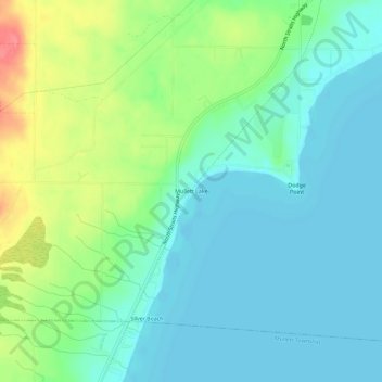
Name: Mullett Lake topographic map, elevation, terrain.
Location: Mullett Lake, Cheboygan County, Michigan, 49761, USA (45.54196 -84.54559 45.58196 -84.50559)
Average elevation: 640 ft
Minimum elevation: 574 ft
Maximum elevation: 804 ft