
Amroha topographic map
Interactive map
Click on the map to display elevation.
About this map
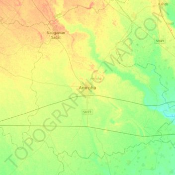
Name: Amroha topographic map, elevation, terrain.
Location: Amroha, Jyotiba Phule Nagar, Uttar Pradesh, 244221, India (28.74662 78.31073 29.06662 78.63073)
Average elevation: 699 ft
Minimum elevation: 646 ft
Maximum elevation: 751 ft
Other topographic maps
Click on a map to view its topography, its elevation and its terrain.
Rajabpur
India > Uttar Pradesh > Amroha
Rajabpur, Amroha, Jyotiba Phule Nagar, Uttar Pradesh, 244236, India
Average elevation: 696 ft