
Moraro topographic map
Interactive map
Click on the map to display elevation.
About this map
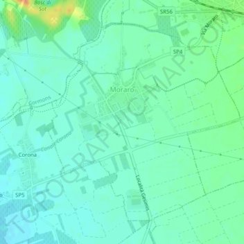
Name: Moraro topographic map, elevation, terrain.
Location: Moraro, UTI Collio - Alto Isonzo, Friuli Venezia Giulia, Italy (45.91607 13.48478 45.93785 13.51538)
Average elevation: 141 ft
Minimum elevation: 108 ft
Maximum elevation: 230 ft