
Røros topographic map
Interactive map
Click on the map to display elevation.
About this map
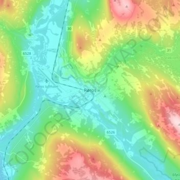
Name: Røros topographic map, elevation, terrain.
Location: Røros, Trøndelag, Noruega (62.53498 11.34213 62.61498 11.42213)
Average elevation: 2,313 ft
Minimum elevation: 2,018 ft
Maximum elevation: 2,953 ft