
Ordway topographic map
Interactive map
Click on the map to display elevation.
About this map
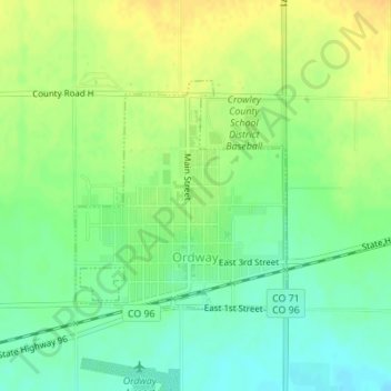
Name: Ordway topographic map, elevation, terrain.
Location: Ordway, Crowley County, Colorado, 81064, United States (38.21438 -103.76665 38.23026 -103.74800)
Average elevation: 4,324 ft
Minimum elevation: 4,278 ft
Maximum elevation: 4,367 ft